UAH grad student trains Madison teenagers in geographic technology
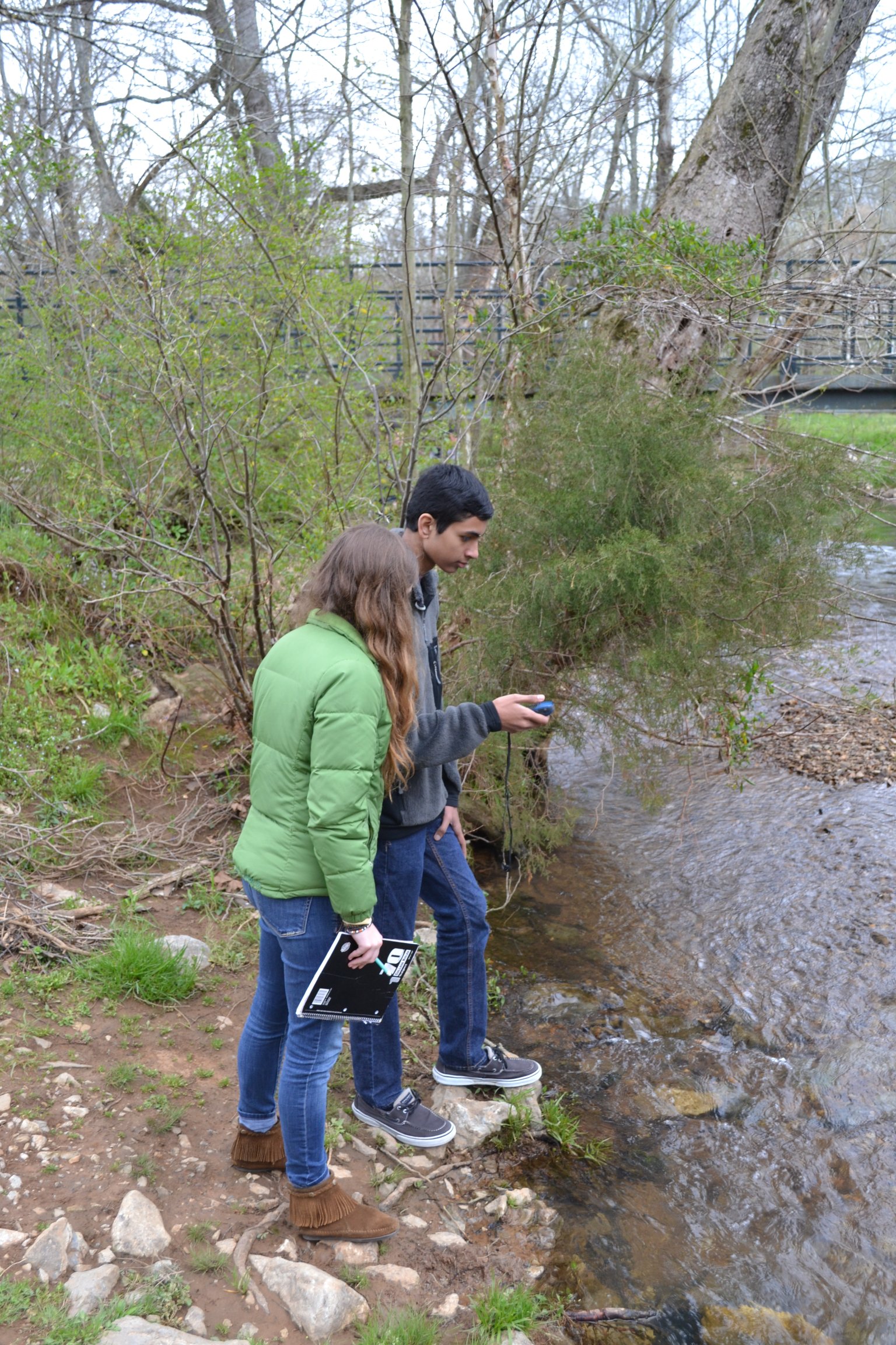
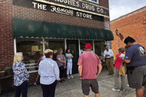
Bob Jones students Morgan Pennington and Param Patel take GPS readings at Indian Creek Greenway. (PHOTO / ERIC ANDERSON)
MADISON – A University of Alabama in Huntsville graduate student has shown Madison teenagers ways that cell phone technology can help them both study and protect the environment.
Texas native Eric Anderson, a student in UAH’s Atmospheric Science Department, was inspired by his environmental science teacher in high school. He worked with teachers at Bob Jones and James Clemens high schools to create two classes and a field trip activity.
Anderson’s efforts involved students with geographic information systems (GIS) and mastering skills that their advanced placement (AP) classes require.
“GIS was the tool for understanding the water-related content they had to master for those AP classes,” Anderson said.
All students were familiar with GIS because of Global Positioning Systems (GPS) systems in cell phones and car navigation systems. “On day one, all hands went up when I asked how many students knew about GPS,” Anderson said.
On his first day of lecture, Anderson was pleased when a student asked, “Can GIS tell us about a storm, where it might flood and the people who might be affected?” “That was a nice reaction,” Anderson said. “They were not only understanding the material but were beginning to make their own inferences from it.”
The Bob Jones and James Clemens classes already had collected water samples from area streams for their environmental science curriculum. “This time, they saw those sites on a map. They could see relationships between their samples and the things that were upstream,” Anderson said.
Before the field trip, Anderson taught a computer lab to introduce students to software developed by ESRI, which donated site licenses to the schools for this project. The students then collaborated on mapping their various samples and comparing the water quality at several locations.
GIS classes were a natural spin-off of Anderson’s work at UAH. His thesis research involves development of tools to reduce landslide threats in Central America. He also provides payload support for NASA’s ISERV instrument aboard the International Space Station.